
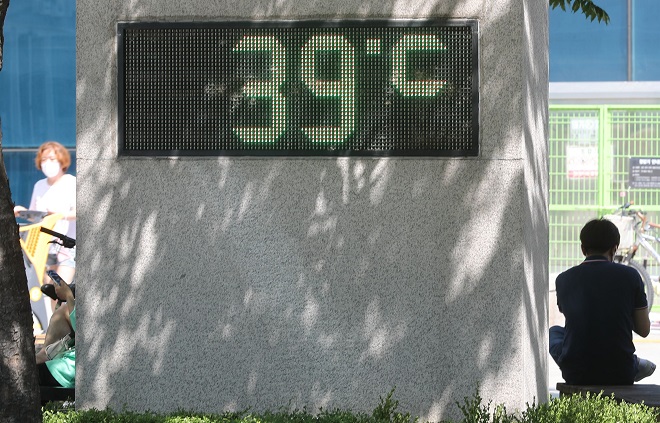
A thermometer set up on a road in Seoul reads 39 C on July 22, 2021. (Yonhap)
SEOUL, June 17 (Korea Bizwire) — The Ministry of the Interior and Safety said Thursday it will provide an in-house developed ‘heat distribution map’ to municipal governments across the country, aimed at helping them better respond to heat waves this year.
The heat distribution map provides information on average temperatures at a uniform interval of 30 meters by analyzing satellite data such as the ground surface temperature, vegetation distribution and solar radiation quantity.
The National Disaster Management Institute developed and provided the map for the first time last year after analyzing meteorological observation information during the summer (from June to September) of last year when temperatures were the second highest in history.
A heat distribution map can be helpful in the selection of locations for the installation of heat wave reduction facilities such as sun shelters and mist sprayers.
In addition, it is also expected to contribute to improving the efficiency of the administrative service response to heat waves by combining the information on heat concentrated areas with municipal governments’ disaster vulnerable group information.
You can check last year’s hottest area in your town easily by visiting the Community Safety Map website run by the government.
Lina Jang (linajang@koreabizwire.com)


